
Transit Apps and Trip-Planning Tools: Making Sense of What's Actually Available

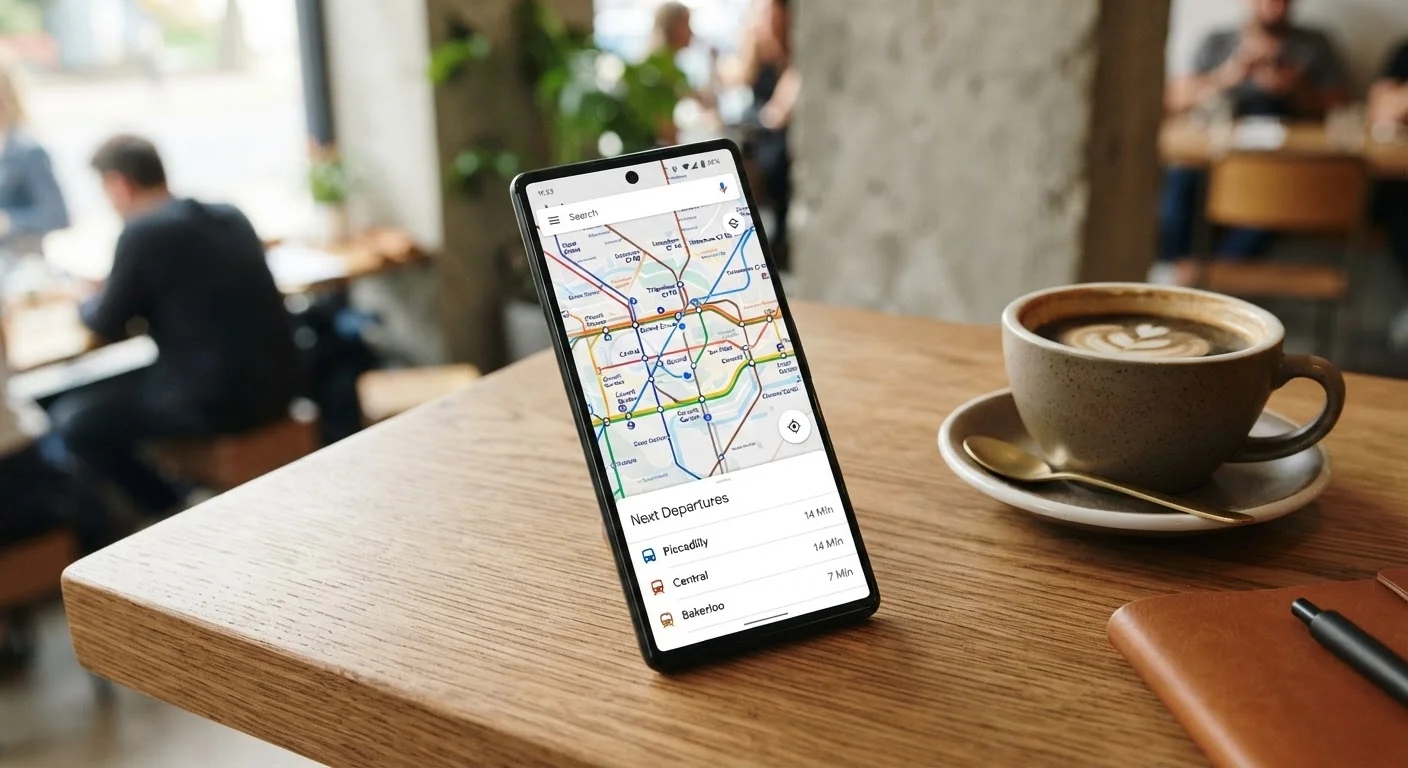
Photo: InfoAlly.net | Finding Info Made Easy editorial
What These Tools Actually Do
Transit apps and trip-planning tools fall into a few distinct categories, and understanding the difference matters when you're trying to build a reliable daily routine. At their core, these tools solve one problem: how do I get from point A to point B without a personal car - or with less dependence on one?
The most common type is the multimodal trip planner, which aggregates options across buses, rail, rideshare, bikeshare, and walking into a single interface. A second category covers agency-specific apps - tools published directly by transit authorities that provide real-time arrivals, service alerts, and fare payment for a single system. Third are navigation apps with transit layers, general-purpose mapping tools that fold public transit directions into a broader routing experience. Finally, mobility-as-a-service (MaaS) platforms aim to bundle planning, booking, and payment for multiple modes in one place, though this category remains unevenly available across U.S. metro areas.
If you're exploring car-free or car-light options more broadly, Getting Around Without a Car offers a practical starting point for understanding what alternatives exist in urban and suburban settings.
| Data standard used by most U.S. transit agencies | GTFS (General Transit Feed Specification) (Google, 2006 - now managed as an open community standard) |
| Number of U.S. transit agencies publishing GTFS data | Hundreds, with coverage concentrated in urban areas (TransitFeeds / Mobility Database) |
| Primary app categories | Multimodal planners, agency apps, navigation apps with transit layers, MaaS platforms |
| Offline use case | Useful in tunnels or areas with poor cellular coverage |
| Accessibility data availability | Inconsistent - varies by agency and app |
Key Features Worth Understanding
Not all apps surface the same data, and the quality of information depends heavily on whether local transit agencies share their data through open standards. The General Transit Feed Specification (GTFS) is the open data format most U.S. agencies use to publish schedule and route information - and its real-time extension (GTFS-RT) enables live arrival predictions. Apps that tap GTFS-RT can show whether a bus is running two minutes late; apps relying only on static schedules cannot.
Other features worth evaluating include:
- Fare integration: Some apps display estimated costs across modes; fewer actually handle payment end to end.
- Accessibility filters: Options to route around stairs, flag elevator outages, or prioritize low-floor vehicles exist in some platforms but not all.
- Offline functionality: Useful when cellular coverage is unreliable underground or in transit dead zones.
- Saved trips and alerts: Subscription to service disruption notifications can significantly reduce commute stress.
Understanding how these tools connect to shared mobility options like bikeshare is also useful. Rideshare, Carshare, and Bikeshare explains the structural differences between those models and when each fits a real-world trip.
GTFS
General Transit Feed Specification - an open data standard that transit agencies use to publish route, schedule, and stop information in a machine-readable format. It enables third-party apps to display accurate transit directions.
GTFS-RT
The real-time extension of GTFS, allowing apps to display live vehicle positions, arrival predictions, and service alerts rather than static schedule data only.
Multimodal trip planner
A digital tool that combines routing options across multiple transportation types - such as bus, rail, bikeshare, and rideshare - into a single trip-planning interface.
Mobility-as-a-Service (MaaS)
A model where a single platform handles planning, booking, and payment across multiple transportation modes. Adoption in the U.S. is still uneven compared to some European markets.
Last-mile connection
The short trip between a transit stop and a final destination, often covered by walking, bikeshare, scooters, or rideshare. It's a common friction point in transit-dependent commutes.
Coverage Gaps and Real-World Limitations
No single app covers every transit system in the country, and rural or smaller metro areas are often underserved. Agency data quality varies - some systems publish real-time feeds; others still operate on static schedules. Planned service changes may not appear immediately in third-party apps, which is why checking an agency's own app or website for critical trips remains a sound habit.
Rideshare integration within trip planners also introduces its own trade-offs. Cost estimates fluctuate with demand, and what looks affordable at planning time may look different at departure. The Hidden Trade-Offs of Relying on Rideshare covers this in depth for anyone weighing rideshare as a primary mode.
For riders building complex daily routes - say, a bus to a rail station followed by a docked e-bike for the last mile - Multimodal Commuting offers a structured way to think through those combinations. And for context on how broader commuting behavior is shifting, How American Commuting Habits Are Changing is a useful companion read.
Always Verify Critical Trips With the Agency Directly
This article is for general informational purposes only and does not constitute transportation, legal, or financial advice. Service availability, app features, and data quality vary by location and may change without notice.
The content on this site is for informational purposes only and is not a substitute for professional advice. Always consult a qualified professional for guidance specific to your situation.